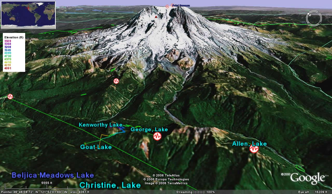
 I've been hiking the last 3 days around Mt. Rainier with Elizabeth! It was awesome. This was another hike straight from the book Hiking Washington. We drove there via the SW Entrance (Nisqually), stopped at the Longmire Wilderness Information Center to pick up backpacking permits, and then went up Westside Road to Fish Creek where the road is closed due to frequent flooding. From there we walked up the road 4 miles, crossing the creek two times. These were not easy to cross carrying our load--at the second crossing Elizabeth's backpack fell into the creek but fortunately she managed to catch it before it ended up in Puget Sound! Unfortunately she and the contents of her backpack were a little wet ;-(. Besides these crossings, the view from the road is not very scenic except for a couple of glimpses of ridges surrounding Mt. Rainier. The last mile was through a trail up to Lake George, where there is a campground and we stayed there for the night. We got there right before sunset and we could see part of the big mountain from the campground. We walked up there wearing shorts and t-shirts, but it quickly got cold. For novices such as ourselves, let me give you a piece of advice: don't forget to take warm sleeping bags even in the middle of the summer when you're up in the mountains.

We then hiked down about 1400 feet to Goat Lake, which is located in the Glacier View
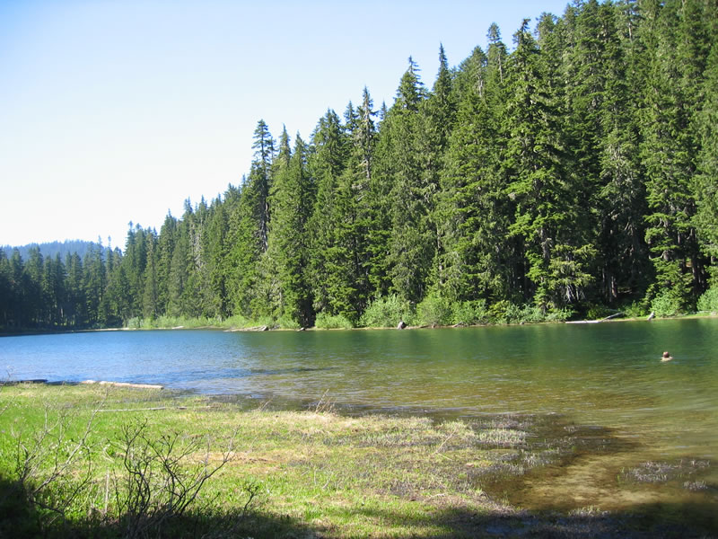 Wilderness area of the National Forest Service. We walked around half the lake and Elizabeth took the initiative to jump in the water and swim. I followed, and the water was a bit cold at first and in the middle of the lake, but it felt great. We then headed back to camp and before sunset I tried fishing but couldn't catch anything. The next day we headed back home.
Once again we went during the middle of the week and so we only saw a couple of people which surprised me this time because it's a national park and the weather couldn't have been better.
Total: ~15mi Hike (Lake George / Gobbler's Knob / Goat Lake -- Mt. Rainier National Park)
[Backdated on 07/10/2006]
posted by Severe Training at 3:44 PM
![]()
![]()
0 Comments:
Post a Comment
<< Home