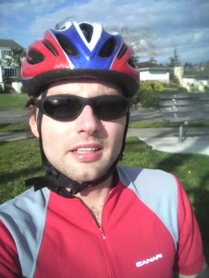
 It was another nice day today and even less windy so I couldn't forego the chance to go biking on Bainbridge Island (the background is on Google Maps format!) :-). It's been a while -- I think the last ride was sometime in October. I'm not sure if I explained it the last couple of times after riding there, but the route around the island is really, really awesome! The reasons are: almost no traffic (thus very quiet); beautiful scenery of the Olympic and Cascade Mountains, and downtown Seattle; a challenging route (if you follow the "Chilly Hilly" route); and a glimpse of a bald eagle or two once in a while.
I started out pretty fast but soon found myself struggling up the hills. I made it very slowly up baker hill which is probably a 400 foot climb at around a 7% slope.
 At this point I was at Battle Point State Park which is approximately 14 or so miles from the start. I rested there for 5 minutes, drank water and ate a Power Gel energy liquid.
I recovered somewhat but was really struggling up a few more steep hills (I almost didn't make it up two hills). As you can see from the elevation profile generated by the Garmin Forerunner Logbook, this is not a flat ride! I'm still trying to find a way to calculate the total elevation climb from the data, but I think I read somewhere that this route has about 2500 or 2800 feet.
So while I was feeling very weak for some reason--maybe just a bad day--I also started to think about how much easier it would have been with a new bike that has more gears. My bike, a circa 1980 Volkscycle Mark 100 has a 5-piece cassette in the back and two chainrings in the front: only 10 gears total! The shifting on this bike is pretty smooth because it has Shimano Dura-Ace components but it's somewhat on the heavier side because of its steel frame. All new road bikes with top-of-the-line components come with either 9 or 10 gears in the front and two or three in the front for a total of between 18-30 gears. Those extra gears would really have been helpful here. So perhaps I should start to thinking about getting a new bike sometime in the next few months...
I finished the ride in 2 hours and 12 minutes. That doesn't include the stop at the park plus two more to look at the map (GPS stops when speed is less than 4mph), so this wasn't a great ride in terms of speed. While waiting for the 30-minute ferry ride back to Seattle, I drank a hot tea and eat a humongous cookie. By the time I stepped off the ferry and rode the final 1.5 miles back home, I had fully recovered. :-)
Total: ~36.0mi Bike Ride (33.0 on BI + 3.0 to/from ferry); 1200 cal.
[Backdated on 03/04/2006]

0 Comments:
Post a Comment
<< Home