I finally got the Google interactive map to work! You can zoom in and choose different map backgrounds. [Backdated on 06/06/2006] I'm taking the Google map off for now because I'm having a problem with formatting. Hopefully I'll have it back up shortly. In the meantime I'm putting up a static satellite map.
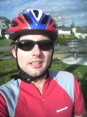
Today was also the first time I've biked with the Cascade Bicycle Club, the largest bicycle club in the country. They have many different rides every day organized by members of the club. I found out there's a 20-25 mile ride that meets at Gas Works Park. I biked there and met up with five other people, two women and three guys, for two of whom this was their first ride with the club. Because the organizer couldn't make, this wasn't actually an official club ride, and thus I didn't have to sign a waver form (liability protection). We decided to ride down to Seward Park and back, a 25-mile round-trip ride. We were going at a comfortable 15-18 mph pace.
The ride itself starts out on the Burke-Gillman Trail. We continued on it until we reached the Montlake Bridge were we turned south. There was actually a "Bicycle Route" sign on the Burke-Gilman trail to get off the trail. That's because there's a designated route from that point to get to Lake Washington. So, once we crossed the bridge there were a number of turns to street with little car traffic, but it wasn't a problem finding the way because of the signs. The route gets pretty scenic on Harrison St. onwards with great views of Lake Washington. In fact, we went by the same place I took a picture on a ride in April.
Once we got down to Lake Washington, it was very nice as always. Me and this other guy started going at about 22mph for a while and got ahead of the pack. It was a mistake because when we got to Seward Park we lost the pack. There was actually a bike race there and we went up a hill to see some riders. By the time we got back to the bottom of the park, we didn't see the rest of the group. The guy riding with me decided to head back. I waited a few more minutes but they didn't show up. I think what happened is they went back right after getting to the park. BTW, the guy riding with me had a fixed-gear bike. I thought it was a single-speed; the difference is that you can't coast on a fixed-gear bike--you have to pedal at all times!
On the way back, my rear-derailluer cable snapped when I was shifting gears. So, I was stuck on the lowest gear, which isn't helpful for climbing hills. I decided therefore to take a shortcut and go through the I-90 tunnel. That's the fastest way to get downtown. The way to get there is to get right under the bridge on Lake Washington Blvd. and then climb the steps with your bike on the right side of it. The downtown ride wasn't bad because it was already past 7:30pm. Unfortunately, and this is a big problem for bikers in Seattle I think, is that there's no bicycle lane to go N/NW through downtown. Heading S/SE, one can take 2nd Ave. Going the other way I usually take 4th Ave., but it's a bit hairy. A better option might be to head all the way down to the water and then take Alaskan Way. It's out of the way, but it's got to be a bit more safer.
This was a fun ride. I enjoyed conversing with the other riders. I'm looking forward to future rides with the club. I should have the bike fixed this weekend.
Total: 22.2mi Bike Ride
[Backdated on 05/19/2006]
posted by Severe Training at 5:44 PM
![]()
![]()
0 Comments:
Post a Comment
<< Home